Background
- GPS functions poorly in indoor environments. Lockheed Martin tasked the team with developing an alternate system for consumer mobile devices that autonomously tracks users’ locations in indoor environments on a custom map.
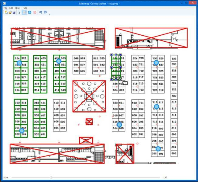
Cartographer
- Using the cartographer, event administrators can quickly and intuitively create metadata maps by tracing their existing site maps.
- The cartographer was developed with usability in mind - no map should take more than a few minutes to complete.
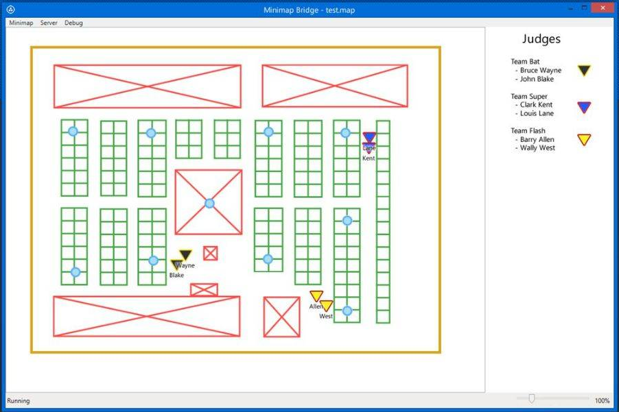
Bridge
- Administrators can manage a Minimap server by using the bridge application.
- The administrator can create and organize teams, manager their itineraries, and even track the positions of connected users.
- The bridge application was designed to be simple to deploy, and has no dependencies on external databases or application servers.
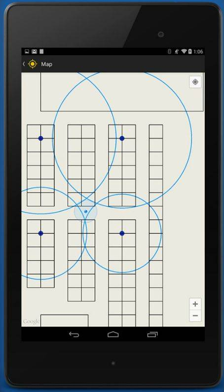
Client
- Users can connect to a Minimap server by using the Minimap Android app.
- The application uses Bluetooth 4.0 LE technology to scan nearby beacons, updating the user's location on the map in real time.
- The client is built using the Google Maps API, so users will find supported gestures to be both familiar and intuitive.